Aghavallen Churchyard
Rusheen, County Kerry, Ireland
About
-
- Cemetery ID:
Members have Contributed
Advertisement
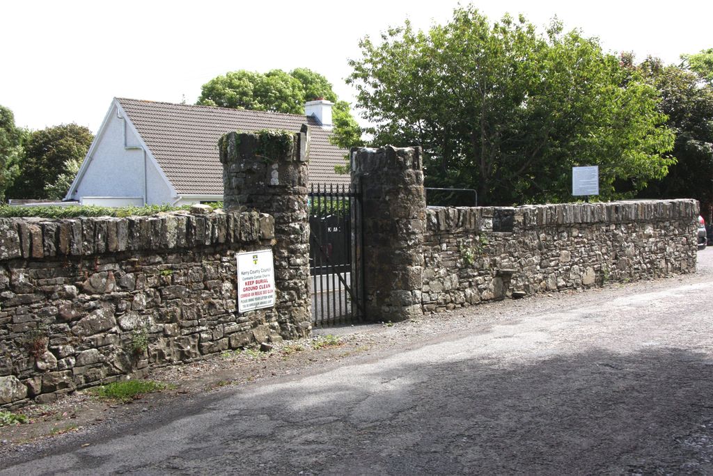
Photos


The parish is situated on the river Shannon, and within a mile and a half of the high road from Tralee to Limerick.
According to the Topographical Dictionary of Ireland by Samuel Lewis (1837), it was formerly known as Aghavallin, or Aghavalah, a parish in the barony of Iraghticonnor, and province of Munster, 4½ miles (W. S. W.) from Tarbert; containing with the town of Ballylongford and the island of Carrigue.Anciently, it belonged to the O'Connors of Kerry, whose principal seat, Castle Carrig-a-foile, (signifying in the Irish language the rock of the chasm), was situated on the south-west side of the inlet between the mainland and the small island of Carrigue, which is encircled by the river Shannon.
In the Church of Ireland, the parish of Aghavallen has been united with other parishes since the seventeenth century. The old church continued in use into the nineteenth century, and was rebuilt in 1840, but is now in ruins. In 1878 the parish was merged with Listowel. The nearest Church of Ireland church is now in Tarbert (Kilnaughtin Church), administered from Rathkeale in County Limerick.
In the Roman Catholic chuch, Aghavallen was united to Kilnaughten from at least the beginning of the eighteenth century. In 1859, the parishes were again seperated, but under the modern names of Ballylongford and Tarbert. The Roman Catholic parish of Ballylongford is identical with the old parish of Aghavallen. A second church in the parish has been built at Asdee. The Church of Ireland Parish registers for Aghavallen record baptisms from 1872 and marriages from 1811.
From 1863 Aghavallen was part of the Listowel Registration District.
The Civil Parish of Aghavallen ceased to be used for census purposes in the mid nineteenth century when District Electoral Divisions (DEDs) were introduced.
Nearby cemeteries
Ballylongford, County Kerry, Ireland
- Total memorials1
- Percent photographed0%
- Percent with GPS0%

Ballylongford, County Kerry, Ireland
- Total memorials472
- Percent photographed85%
- Percent with GPS36%

Tarbert, County Kerry, Ireland
- Total memorials414
- Percent photographed96%
- Percent with GPS12%

Tarbert, County Kerry, Ireland
- Total memorials421
- Percent photographed99%
- Percent with GPS0%
- Added: 30 Jul 2011
- Find a Grave Cemetery ID: 2412363

Cemetery Photos
This is a carousel with slides. Use Next and Previous buttons to navigate, or jump to a slide with the slide dots. Use Escape keyboard button or the Close button to close the carousel.


Success
Uploading...
Waiting...
Failed
This photo was not uploaded because this cemetery already has 20 photos
This photo was not uploaded because you have already uploaded 5 photos to this cemetery
This photo was not uploaded because you have already uploaded 5 photos to this cemetery
Invalid File Type
Birth and death years unknown.
1 photo picked...
2 photos picked...
Uploading 1 Photo
Uploading 2 Photos
1 Photo Uploaded
2 Photos Uploaded
Size exceeded
Too many photos have been uploaded
"Unsupported file type"
• ##count## of 0 memorials with GPS displayed. Double click on map to view more.No cemeteries found